This issue has bothered seafarers since the earliest history. On one hand it is about calculating the shortest way, but on the other hand it is about predicting the conditions in the area we are about to sail. This is what I would like to share some thoughts about. Sailing without the modern technology is far behind us so the use of IT when sailing has become usual. While sailing, the environment is in constant motion (both the atmosphere and the sea) so our route planning depends a great deal on the weather forecast.
Meteorologists along with IT experts are of great help to seafarers and hobby sailors. Therefore, a group of reliable weather forecasting models is available for use when route planning, especially offshore long distance route planning. One of the most reliable models would be one using the so called GRIB data form.
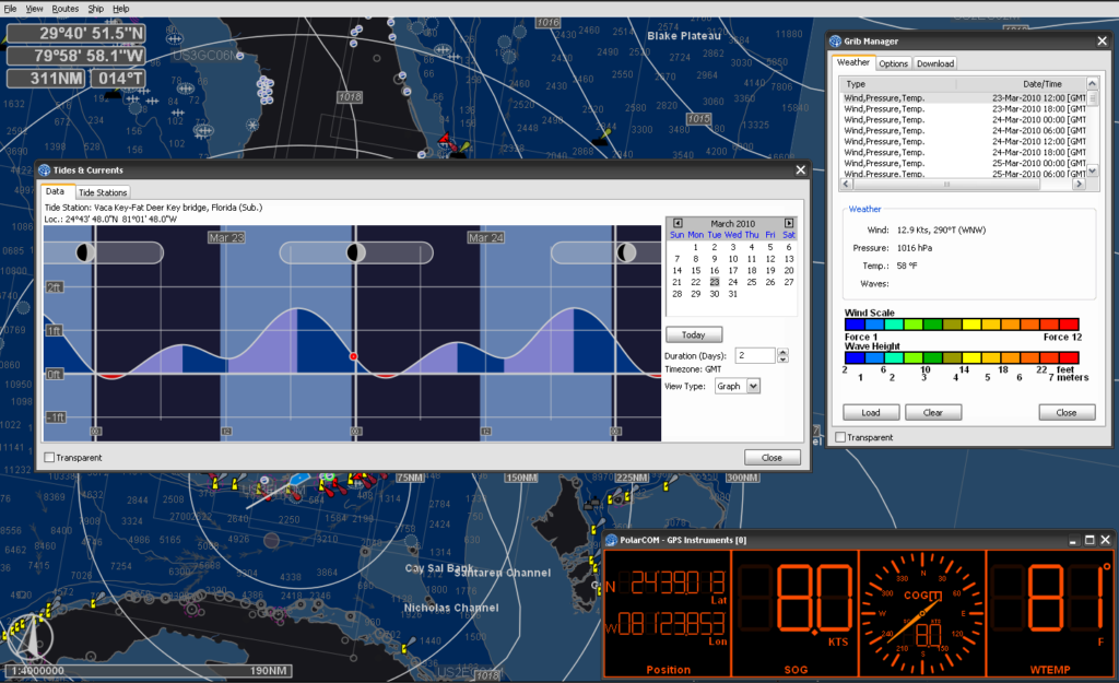
GRIB is the abbreviation of GRIdded Binary or General Regularly-distributed Information in Binary form. It is a concise data format standardized by the World Meteorological Organization’s Commission for Basic Systems. How does it work? After downloading GRIB databases are being extracted, processed and interpreted by personal computer application program. The result is a simple and user friendly display of current state and forecast for desired sailing area.
Furthermore, a wide range of data is available for a user to choose and follow as well as the option for calculation of the safest and the most favorable route. Additionally, there are several programs which could calculate custom made route in line with the performances of your vessel. If you know the polar diagram of your yacht the program would easily calculate the best route for you according to the sailing abilities of your yacht.
Luckily GRIB formats are distributed as rather small databases (around 300 Kb) to make transfer easier via Wi-Fi or satellite internet connection, which is being charged according to the data transfer or the time spent online. Advanced programs designed for competitive sailors would calculate the ideal route according to detailed information such as the shape, material and the surface of sails used, as well as the position and speed of competitors.
There is a wide range of navigation programs using the available GRIB formats. Some of them are designed only to download GRIB databases, while others are equipped with calculation modules. The difference between them is more or less in the use of different numerical prognostic models (such as WRF, FMX, COAMPS, HIRLAM…) and geographic sailing areas. The most popular navigation programs using GRIB databases are offered by Nobeltec, Rose Point Navigation Systems, Euronav Navigation Software and many more.
Still, I strongly believe that safe navigation is only possible if the skipper possesses a sound knowledge of basic maritime meteorology terms, understands the functioning system of navigation programs and combines it all with official weather forecast issued by official meteorological entity in the specific sailing area. There is no magic wand to find the safest route. It requires a great deal of learning and care…
I wish you a calm sea, a fine wind and a strong mast!